|
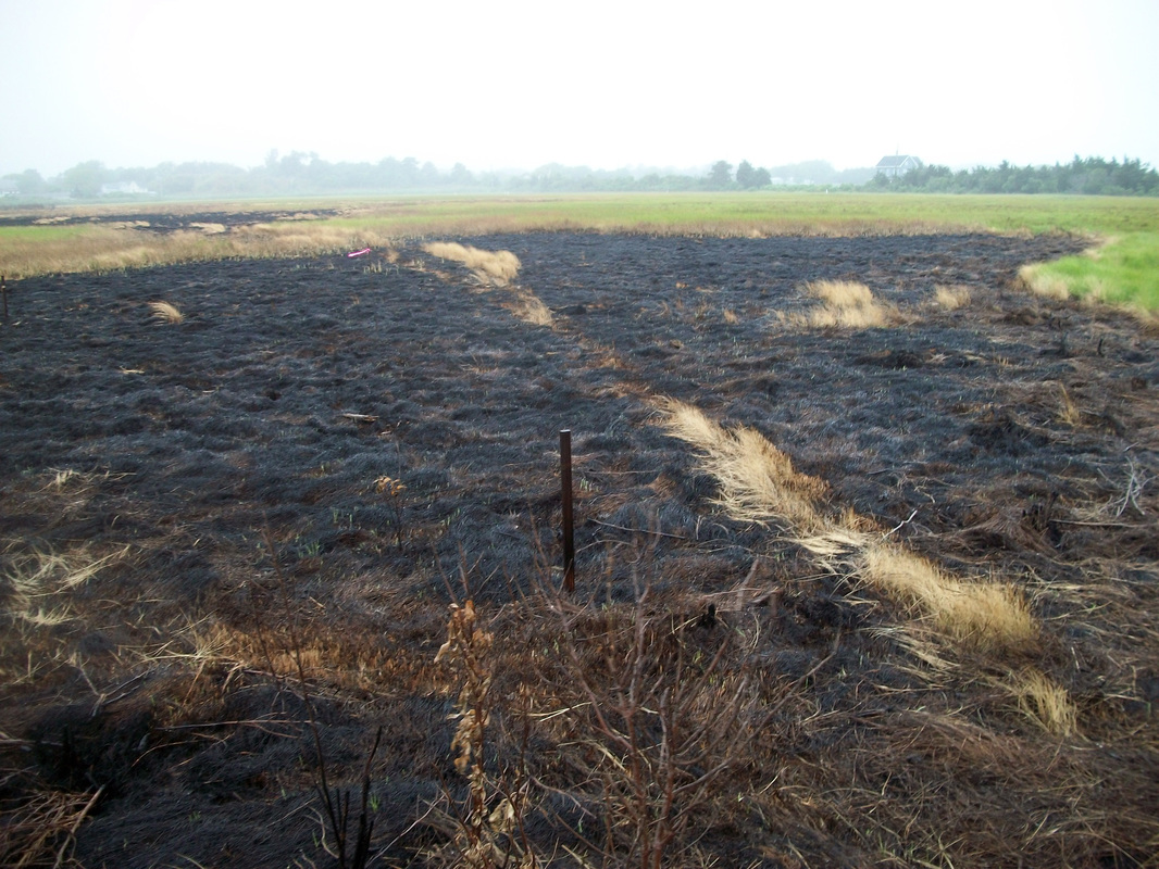
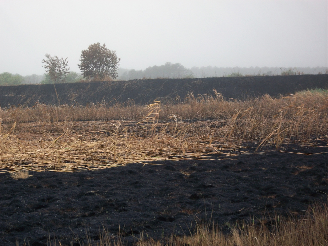
This summer CBFS hosted an Intro to GIS course where students learn the basics of ArcGIS and ArcMap software during a two-week online course before arriving on campus for a week of practical application of their knowledge. During the week at the Field Station, the class typically uses a Trimble GPS unit to create profiles of local beaches and coastal areas. Just before the GIS students arrived on campus this year, staff at CBFS learned that part of the marsh at their satellite campus in Greenbackville had caught fire. The GIS class took advantage of this unique opportunity to create a detailed map of the burned area on the Field Station's property. Students and staff found that the burn was perhaps not the worst thing that could have happened to our marsh, since most of the plants that were burned were Phragmities, an invasive species that has taken over many marsh areas on the east coast. For years, CBFS, as well as many other environmental organizations, have been trying to reduce the presence of Phragmities in our marshes to allow other native species to flourish. While Phragmities will likely be one of the first species to regrow, CBFS is beginning to discuss how they will manage the recently burned land. As for the students, they were excited to participate in the effort. Anna Martin, a rising senior at Edinboro University of PA was excited "to be able to apply our newly found knowledge of GIS to a real life scenario, and this situation helped us tremendously, giving all of us some much needed experience." She envisions CBFS being able to use the maps that they created to monitor the regrowth of the marsh, and to assess the health in the future. Photographs contributed by Anna Martin
0 Comments
Leave a Reply. |
About
Everything you need to know about CBFS's educational programs, visiting Chincoteague Island, and more! Categories
All
Archives
January 2019
|
CHINCOTEAGUE BAY FIELD STATION | 34001 Mill Dam Road | Wallops Island, VA 23337 | (757) 824-5636 | [email protected]


 RSS Feed

